|
|
Lakeshore Trail shuttle SHORT HIKE 4.7 miles
400' elevation gain season: Jun-Oct
(but not if snow below 5500') Maps (May 2020 edition)
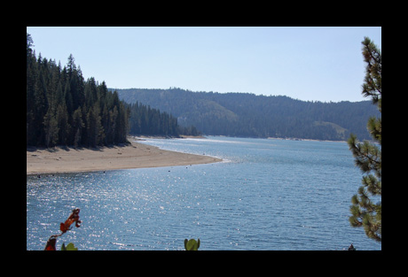
Bucks Lake is a reservoir, and as such the water level declines as summer progresses. Yet, it is surprisingly attractive. The above photo is in the drought year of 2008. You can hike out the Lakeshore Trail from either end and return the way you came. That is what most people do. But it is more interesting to hike the whole trail, and shuttle back either with car or bicycle. It is a good bike shuttle, 8 miles all paved. Bicycles are not allowed on the Lakeshore Trail, since it enters Bucks Lake Wilderness. Bucks Creek Trailhead is on Bucks Lake Road, just on the north side of the bridge across Bucks Creek. The west trailhead is in Mill Creek Campground, at the far end.
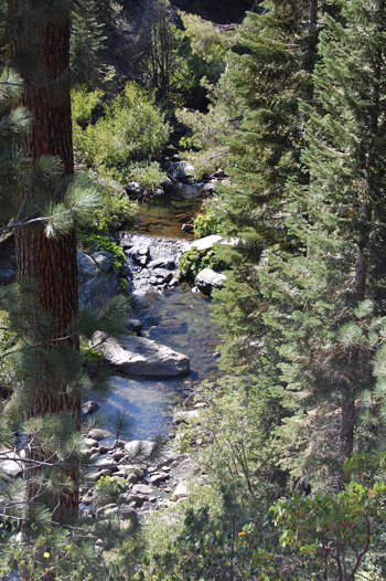
From Bucks Creek
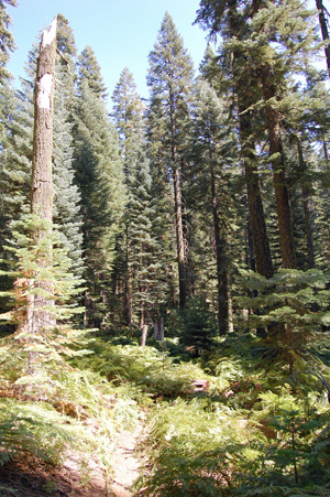
Trailhead your trail penetrates the lush forest with occasional
crossings of small creeks or seeps, with ferns and flowers in
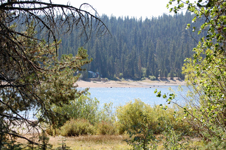
season. You can look across the lake to the cabins in the resort
area. After Mile 2 your trail goes over a small rise and down to Right Hand Branch Mill Creek and a junction with the Right Hand Branch Trail. The water in this and the other two branches of Mill Creek looks clear and fresh, but many cattle graze upstream. We would drink the Lakehead Spring water, but would chlorinate or filter the Mill Creek water; make your own judgment.
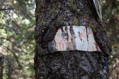
This trail was part of the California Riding & Hiking Trail, a pre-Pacific Crest Trail project that was to encircle the Central Valley, with a spur to Mexico. It was never completed, and has been abandoned as a State project. Look for the historic signs along this stretch of trail.
Past Mile 4 the trail makes a short, steep climb without shade. And then descends to clear and refreshing Lakehead Spring creek. You then cross Mill Creek (no bridge, dangerous at high water), and reach two trail junctions. Head left at both, and arrive at Mill Creek Campground to end the hike.
|
 Avenza version
 Adobe PDF version